So You Want to Know About Maps?
Tuesday, July 24, 2012
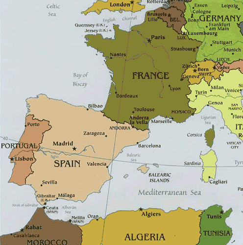
Political Maps
Political maps are displayed to show the countries in the world. The countries are in different colors to represent their nation. Political maps show the capital of countries and the important cities located in the country.
Political Map Link
No comments:
Post a Comment
Newer Post
Older Post
Home
Subscribe to:
Post Comments (Atom)
No comments:
Post a Comment